
Postcode(s) 2700 Elevation 291 m Local time Thursday 9:20 AM | Postal code 2700 | |
 | ||
Location 579 km (360 mi) from Sydney79 km (49 mi) from Griffith28 km (17 mi) from Barellan24 km (15 mi) from Narrandera Weather 21°C, Wind NE at 19 km/h, 50% Humidity | ||
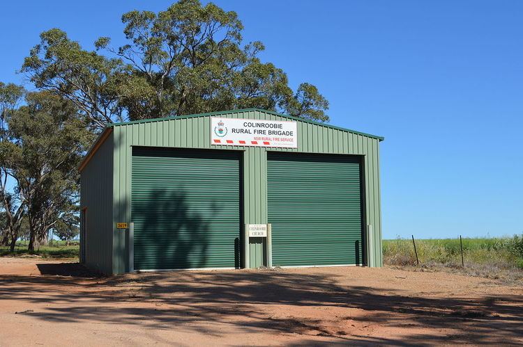
Colinroobie is a rural community in the central part of the Riverina in southern New South Wales, Australia. Previously referred to as Bents Hill its name was changed in January 2005.
Map of Colinroobie NSW 2700, Australia
It is situated by road, about 24 kilometres (15 mi) north from Narrandera and 28 kilometres (17 mi) south from Barellan.
Colinroobie Post Office opened on 5 November 1895 and closed in 1952.
References
Colinroobie Wikipedia(Text) CC BY-SA