OS grid reference SW868613 Dialling code 01637 | Civil parish Colan Local time Wednesday 2:18 PM | |
 | ||
Weather 11°C, Wind SW at 39 km/h, 98% Humidity | ||
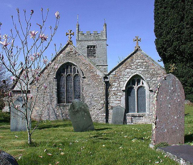
Colan (Cornish: Kolan) is a village and civil parish in mid-Cornwall, England, United Kingdom. It is situated approximately three miles (5 km) east of Newquay. The electoral ward is called Colan and Mawgan. The population of this ward at the 2011 census was 4,256 The hamlets of Bosoughan, Chapel, Gwills, Kestle Mill, Lane, Mountjoy, Quintrell Downs, Trebarber and Trencreek are in the parish. Fir Hill Woods near Nanswhyden, contains the ruins of Fir Hill Manor. Colan Church dates to the thirteenth century.
Map of Colan, UK
References
Colan, Cornwall Wikipedia(Text) CC BY-SA
