
Statistical region Gorizia Elevation 611 m Local time Wednesday 2:58 PM | Traditional region Littoral Municipality Ajdovščina Area 2.62 km² Population 498 (2002) | |
 | ||
Weather 13°C, Wind E at 10 km/h, 28% Humidity | ||
Col ([ˈtsɔu̯]; archaic Podvelb, Italian: Zolla, German: Zoll) is a settlement on the edge of a karst plateau overlooking the Vipava Valley in the Municipality of Ajdovščina in the Littoral region of Slovenia. A Roman road led through the settlement. Its location overlooking the valley on the main route leading inland was used in the Middle Ages and later as a checkpoint between the Littoral region and Carniola.
Contents
Map of 5273 Col, Slovenia
Name
The settlement was first attested in written sources as Zoll oder Podgweld and Zoll oder Podgwelb in 1763–1787. The Slovene name Col is borrowed from Middle High German zol (modern German Zoll) 'toll' or 'customs duty'. Col is located on the border between the historical Habsburg crown lands of Carniola and Gorizia and was a collection point for tolls. Col was originally known as Podvelb (German: Podgwelb; literally, 'below the arch') in reference to a castle that formerly stood near Saint Leonard's Church.
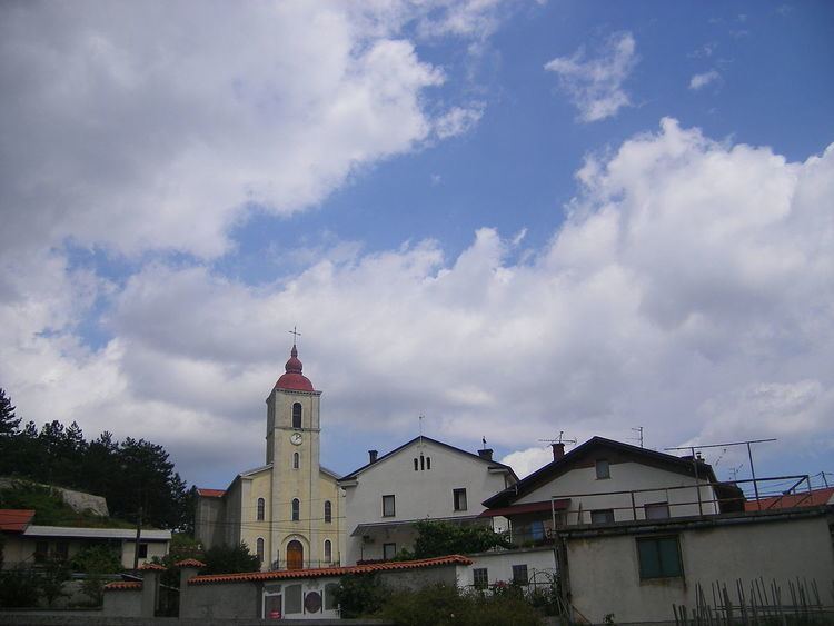
Church
The parish church in the settlement is dedicated to Saint Leonard and belongs to the Diocese of Koper.