
Country El Salvador Time zone CST (UTC-6) Area 84.05 km² | Department La Libertad Elevation 570 m Local time Wednesday 9:25 PM | |
 | ||
Weather 24°C, Wind N at 8 km/h, 70% Humidity | ||
Colón is a municipality in the La Libertad department of El Salvador.
Contents
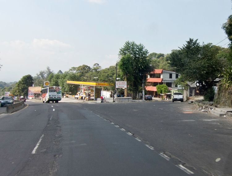
Map of Colon, El Salvador
Colón is surrounded by the municipalities of Santa Tecla, Quezaltepeque, San Juan Opico, Ciudad Arce, and Sacacoyo y Talnique. The municipality was previously known as El Guarumal, and was made a town on 20 August 1886, and a village (villa) on 24 July 1986.
Cantons
The municipality is bordered by various cantons:
Tourism
Colón has Los Chorros (a bathing resort) which was destroyed in the 2001 earthquake, but reopened in March 2008.
Security
The municipality is considered to be one of the most dangerous in the country, reporting various homicides and notorious activity of gangs, locally called maras.
References
Colón, La Libertad Wikipedia(Text) CC BY-SA