
Country United States ZIP code 37314 Elevation 499 m | Time zone Eastern (EST) (UTC-5) Area code(s) 423 Local time Wednesday 8:32 AM | |
 | ||
Weather 4°C, Wind S at 0 km/h, 77% Humidity | ||
Coker Creek is an unincorporated community in Monroe County, Tennessee, United States. Coker Creek is located on Tennessee State Route 68 6.7 miles (10.8 km) south of Tellico Plains. Coker Creek had a post office from October 26, 1841, to September 27, 2008; it still has its own ZIP code, 37314.
Contents
Map of Coker Creek, TN 37385, USA
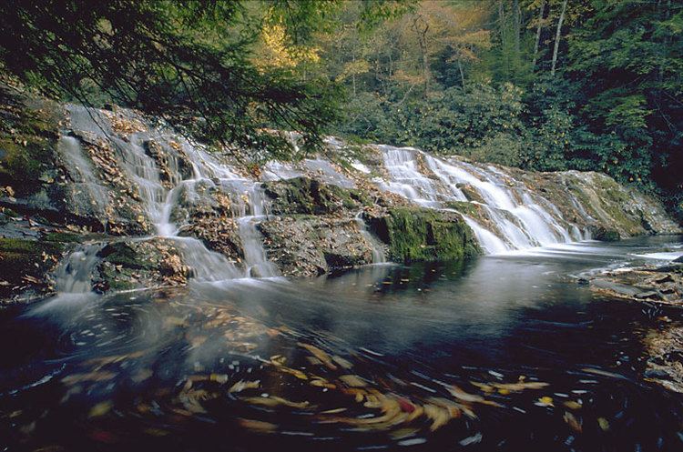
Coker Creek lies high in the southern Appalachian mountains completely surrounded by the Cherokee National Forest in Southeast Tennessee—just 2 miles from the North Carolina Line. Tellico Mountain lies to the north, Farner Mountain to the south, Unicoi Mountain to the east, and Cataska Mountain to the west. There are homes and businesses, 11 grave yards, 9 churches, and many hiking trails and artisan shops. The area is known for its trout fishing and the mountains are laced with rhododendron, laurel, ferns and the many species of trees native to this area. Gold was discovered here long before the California 49ers headed west.
Education
Monroe County Schools operates public schools. Coker Creek Elementary School serves the community.