
Postcode(s) 2083 State electorate(s) Gosford Parish Patonga | LGA(s) Central Coast Council Postal code 2083 Federal division Division of Robertson | |
 | ||
Location 51 km (32 mi) N of Sydney
4 km (2 mi) N of Brooklyn | ||
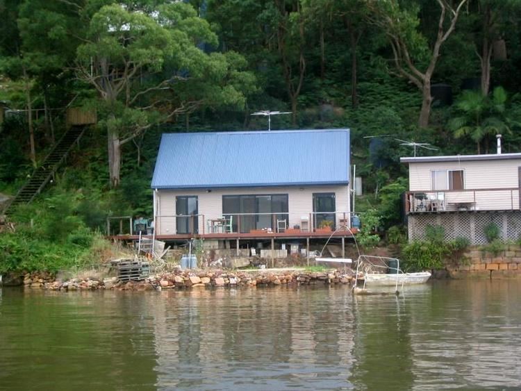
Cogra Bay is a suburb of the Central Coast region of New South Wales, Australia, located on the north bank of the Hawkesbury River 51 kilometres (32 mi) north of Sydney. It is part of the Central Coast Council local government area.
Map of Cogra Bay NSW 2083, Australia
Cogra Bay is bounded by the Hawkesbury River to the south, the mouth of the Mooney Mooney Creek to the west, Mullet Creek to the east, and the Brisbane Water National Park to the north. It consists of a number of properties accessible only by boat or by water taxi from Brooklyn 4 kilometres (2 mi) away, although due to shallow water, most properties can only be reached at high tide. Cogra Bay residents have no access to water or power, although many residents use solar power. The Main North railway line skirts the locality, but does not stop within it - the nearest stations being at Brooklyn and Wondabyne.
The area is vulnerable to forest fires due to its location and isolation, and a fire in January 1994 destroyed four homes in Cogra Bay, while another came very close to the settlement in 2003.