
- right Great Pasture Beck | ||
 | ||
- left Oakdale Beck, Howl Beck, Broad Beck, Spital Beck, Whitelass Beck, Moor Stell, Paradise Beck, Willow Beck - location Leckby Grange, North Yorkshire | ||
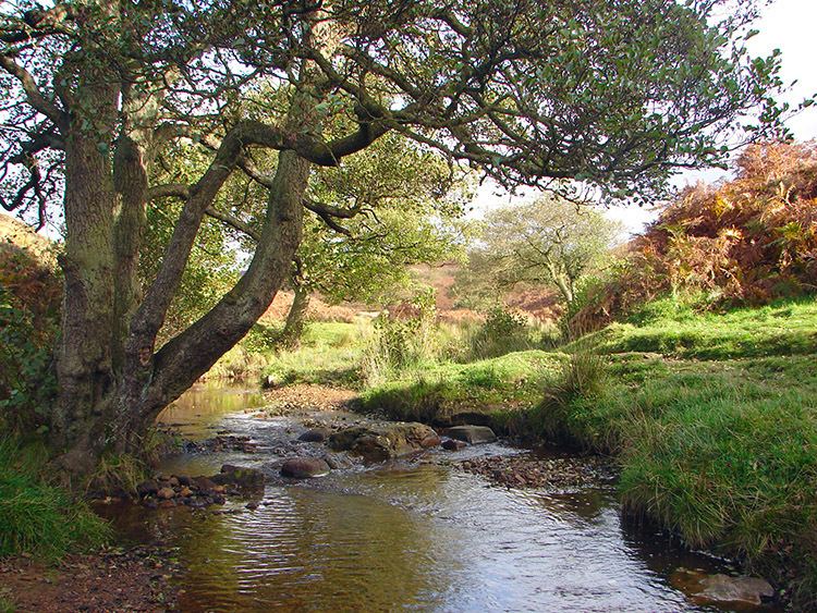
Cod Beck is a river in North Yorkshire, England. It has a catchment area of 209.34 km2 (80.83 sq mi).
The river extends from above Cod Beck Reservoir at Osmotherley on the edge of the North York Moors through Thirsk and on to join the River Swale at Topcliffe.
Cod Beck has a long history of flooding Thirsk and a feasibility study completed in April 2005 recommended additional flood defences and upstream storage. In 2011, a proposed flood defence scheme in Thirsk was cancelled due to the Environment Agency having its budget cut by 41%.
The name Cod Beck is a derivative of Cold Beck, where beck is smaller than a river; the stream runs deep between banks, so is always fairly cool. Cod fish are of course not found in fresh water.
SettlementsEdit
from source
(Joins Swale)