
Country United States Area code(s) 505 Elevation 1,608 m Population 528 (2010) Added to NRHP 20 November 1974 | Time zone Mountain (MST) (UTC-7) FIPS code 35-16560 Area 3.108 km² Year built 1250 | |
 | ||
Architectural style Pueblo Revival architecture | ||
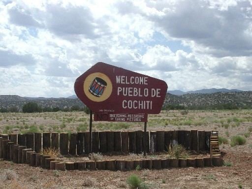
Cochiti (/ˈkoʊtʃəti/; Eastern Keresan: Kotyit) is a census-designated place (CDP) in Sandoval County, New Mexico, United States. A historic pueblo of the Cochiti people, it is part of the Albuquerque Metropolitan Statistical Area. The population was 528 at the 2010 census.
Contents
- Map of Cochiti NM USA
- Geography
- Demographics
- Notable people from Cochiti Pueblo
- In popular culture
- References
Map of Cochiti, NM, USA
Located 22 miles (35 km) southwest of Santa Fe, the community is listed as a historic district on the National Register of Historic Places. The Cochiti pueblo people are a federally recognized tribe of Native Americans.
Potters of Cochiti and Tewa (formerly Santo Domingo) have made traditional pots for centuries, developing styles for different purposes and expressing deep beliefs in their designs. Since the early decades of the 20th century, these pots have been appreciated by a wider audience outside the pueblos. Continuing to use traditional techniques, in the late 20th and early 21st centuries, potters have also expanded their designs and repertoire in pottery, which has an international market.
The Cochiti speak Keres, an eastern Keresan language, which is a language isolate. In the early 21st century, the Keres Children's Learning Center, an independent Keres immersion school, was founded to aid with preservation of their language and culture. It has added grades since its founding.
The pueblo administers 53,779 acres (217.64 km2) of reservation land and possesses concurrent jurisdiction over the Kasha-Katuwe Tent Rocks National Monument.
The pueblo celebrates the annual feast day for its patron saint, San Buenaventura, on July 14.
Geography
Cochiti is located at 35°36′32″N 106°21′01″W.
According to the United States Census Bureau, the CDP has a total area of 1.2 square miles (3.1 km2), all of it land.
Demographics
At the 2010 census, there were 528 people, 157 households and 127 families residing in the CDP. The population density was 440 per square mile (169.9/km²). There were 178 housing units at an average density of 149.9 per square mile (59.1/km²). The racial makeup of the CDP was 95.1% Native American, 1.5% White, 1.3% from other races, and 2.1% from two or more races. Hispanic or Latino of any race were 6.6% of the population.
There were 157 households of which 28% had children under the age of 18 living with them, 40.8% were married couples living together, 29.3% had a female householder with no husband present, and 19.1% were non-families. 18.5% of all households were made up of individuals and 9.0% had someone living alone who was 65 years of age or older. The average household size was 3.36 and the average family size was 3.76.
31.8% of the population were under the age of 19, 6.4% from 20 to 24, 23.8% from 25 to 44, 20.6% from 45 to 64, and 17.4% who were 65 years of age or older. The median age was 34.5 years.
In the 2000 census, the median household income was $31,875 and the median family income was $37,500. Males had a median income of $19,231 compared with $21,641 for females. The per capita income for the CDP was $9,153. About 21.4% of families and 20.9% of the population were below the poverty line, including 21.3% of those under age 18 and 11.8% of those age 65 or over.
Notable people from Cochiti Pueblo
In popular culture
In 1969, a documentary film about a Native American boy's life on a Cochiti pueblo was made for Sesame Street's second (1970–71) season. Subjects it covered included a game of shinny, making tortillas, and making necklaces out of corn for summertime sale to tourists.