
Country New Zealand District Rodney District | Local time Wednesday 3:03 PM | |
 | ||
Weather 19°C, Wind E at 42 km/h, 90% Humidity | ||
Coatesville is a small, affluent rural community situated approximately 30 km north-west of Auckland. Albany lies to the east, Paremoremo to the south, Riverhead to the south-west, and Dairy Flat to the north.
Contents
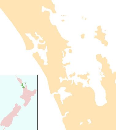
Map of Coatesville, Auckland, New Zealand
The area was called Fernielea until 1926, when it was renamed after Gordon Coates, the Prime Minister at the time.
Mincher is a garden of national significance in Coatesville. Other gardens open to the public by appointment include Woodbridge and Twin Lakes.
Education
Coatesville School is a coeducational contributing primary (years 1-6) school with a decile rating of 10 and a roll of 287. A school was first established in the area in 1916, but it closed in 1920. A new school opened in 1923.
Coatesville Playcentre started in Coatesville Hall in the 1970s before moving into a purpose built centre next to the school in the 1980s. Playcentre offers parent-led early childhood education for children aged 0–5 years.
Coatesville Learning Centre opened in 2012 catering for 1-5 year old children.