
 | ||
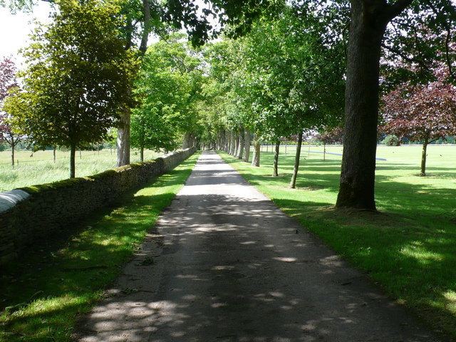
Coates is a village situated in Gloucestershire, England. It is around 5 km or 3 miles west of Cirencester and close to Cirencester Park, part of the Bathurst Estate. It is the nearest village to the source of the river Thames at Thames Head, and it is close to the course of the Foss Way or Fosse Way, the ancient Roman road. The nearest railway station is Kemble. The village population taken at the 2011 census was 507.
Map of Coates, Cirencester, UK
The parish church of St Matthews (now part of the Thameshead Benefice) dates back to the 13th century. The building has a Perpendicular tower, 13th century piscina, Norman font and a Norman doorway.
Bernard Vann, VC, spent much of his childhood in the Coates rectory, where his mother was housekeeper to the Rev. T. C. Simpson, his uncle. He is commemorated in the church.
The village is home to the Coates Cricket Club that plays in the Cotswold District League. The Tunnel House Inn can be found just beyond the edge of the village towards Tarlton. The Royal Agricultural College's Rural Skills Centre is on the eastern side of the village in the buildings that were previously Coates Farm.