
NRHP Reference # 96000115 Local time Tuesday 5:21 PM Added to NRHP 22 February 1996 | Area 56 ha Year built 1838 | |
 | ||
Location Roughly along Main, Maple and Hill Sts. Weather 14°C, Wind S at 21 km/h, 88% Humidity | ||
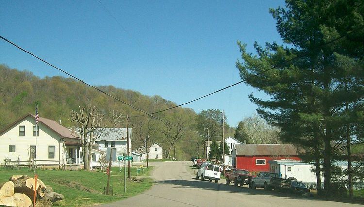
Coal Run is an unincorporated community in northeastern Waterford Township, Washington County, Ohio, United States. Although it is unincorporated, it has a post office, with the ZIP code of 45721. It is located along State Route 60 between the villages of Beverly and Lowell. The Muskingum River flows past the community.
Contents
Map of Coal Run, OH 45744, USA
History
Coal Run was laid out and platted in 1838, and named after a nearby stream of the same name noted for its coal deposits. A post office called Coal Run was established in 1837, and remained in operation until 1997.
In 1996, Coal Run was declared a historic district and listed on the National Register of Historic Places. Eighty-seven buildings in the community, plus two other non-building sites, compose the historic district, which covers an area of approximately 138 acres (56 ha). A range of architectural styles are present in the district, including the Federal and Victorian styles. Varied as well are the uses of the buildings: many houses are present, but shops, a post office, and a cemetery are also included within its boundaries. One of the community's residences is known as the Mason House; built in 1802, it is listed on the National Register by itself as well as qualifying as a contributing property to the district.