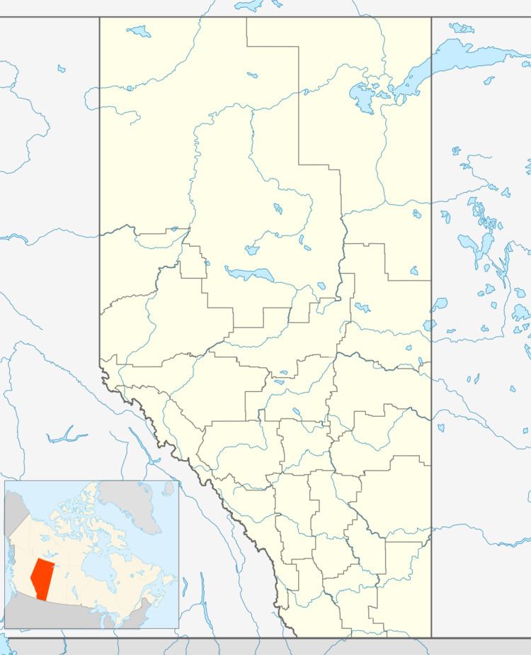
Country Canada Census division 13 Time zone MST (UTC-7) Elevation 650 m Population 430 (2016) Local time Tuesday 12:22 PM | Highways Highway 2Highway 18 Area 136 ha Province Alberta | |
 | ||
Weather -17°C, Wind NW at 18 km/h, 72% Humidity | ||
Clyde is a village in northern Alberta, Canada. It is located north of Edmonton and east of Westlock, near the junction of Highway 18 and Highway 2.
Contents
Map of Clyde, AB, Canada
It was incorporated in 1914 and named after George D. Clyde, a local entrepreneur and the community's first postmaster.
Demographics
In the 2016 Census of Population conducted by Statistics Canada, the Village of Clyde recorded a population of 430 living in 179 of its 198 total private dwellings, a 2998855000000000000♠−14.5% change from its 2011 population of 503. With a land area of 1.31 km2 (0.51 sq mi), it had a population density of 328.2/km2 (850.1/sq mi) in 2016.
In the 2011 Census, the Village of Clyde had a population of 503 living in 197 of its 211 total dwellings, a 7% change from its 2006 population of 470. With a land area of 1.36 km2 (0.53 sq mi), it had a population density of 369.9/km2 (957.9/sq mi) in 2011.
The population of the Village of Clyde according to its 2009 municipal census is 493.
In 2006, Clyde had a population of 470 living in 195 dwellings, a 4.3% increase from 2001. The village had a land area of 1.36 square kilometres (0.53 sq mi) and a population density of 346.4/km2 (897/sq mi).
