
Sovereign state United Kingdom Postcode district DY14 | Post town Kidderminster Civil parish Bayton | |
 | ||
Districts Malvern Hills District, Wyre Forest District | ||
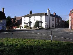
Clows Top is a village in north Worcestershire, England.
Map of Clows Top, Kidderminster, UK
There is a village shop, a butchers and a village hall (named the "Victory Hall"). It lies on the A456 road between Tenbury Wells and Bewdley.
The settlement is divided by the border of the districts of Malvern Hills and Wyre Forest; it also lies on the tripoint of the civil parishes of Mamble, Bayton and Rock.
The summit of the hill reaches an elevation of 231 metres (758 ft).
References
Clows Top Wikipedia(Text) CC BY-SA