
- elevation 5,229 ft (1,594 m) Length 89 km Country United States of America | - elevation 3,218 ft (981 m) Mouth Bruneau River | |
 | ||
- location Bruneau – Jarbidge Rivers Wilderness, Owyhee County, Idaho | ||
Clover Creek (previously East Fork Bruneau River) is a 55-mile (89 km) long tributary of the Bruneau River in the U.S. state of Idaho. Beginning at an elevation of 5,229 feet (1,594 m) in southeastern Owyhee County, it flows generally northwest through East Fork Bruneau Canyon to its mouth in the Bruneau – Jarbidge Rivers Wilderness, at an elevation of 3,218 feet (980.8 m).
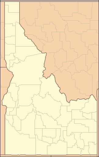
Map of Clover Creek, Idaho, USA
References
Clover Creek (Bruneau River) Wikipedia(Text) CC BY-SA