
District Thabo Mofutsanyane Established 1907 Area 19 km² Local time Tuesday 1:49 PM | Postal code (street) 9735 Population 17,602 (2011) Area code 051 | |
 | ||
Weather 27°C, Wind W at 5 km/h, 36% Humidity | ||
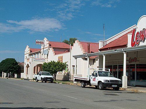
Clocolan, established in 1906, is a small town in the Free State province of South Africa. The Basotho called the place Hlohlolwane (Hlohla-o-lwane, "get up and fight"). New inhabitants mispronounced the name and called it Clocolan.
Map of Clocolan, South Africa
Town west of Prynn’s Berg, and some 166km north-east of Bloemfontein. Laid out on the farms Harold and Rienzi in 1906, it became a municipality in 1910. The name is of Sotho origin, said to be derived from hlohloloane, ‘bump and fight’, from an incident in which the bumping over of a basket filled with wheat led to a fight; or ‘pressed in the mountains’.
References
Clocolan Wikipedia(Text) CC BY-SA