
Airport type Public Elevation AMSL 822 ft / 251 m 4,600 1,402 Code CLI | 14/32 4,600 Elevation 250 m Phone +1 715-823-7685 | |
 | ||
Address 440 7th St, Clintonville, WI 54929, USA Similar Shawano Municipal Airport‑Ezs, Schewe, Dillenbur Airport, Appleton Internatio Airport, Wolfgram Airport | ||
Clintonville Municipal Airport (IATA: CLI, ICAO: KCLI, FAA LID: CLI) is a city owned public use airport located one nautical mile (2 km) southeast of the central business district of Clintonville, a city in Waupaca County, Wisconsin, United States. It is included in the Federal Aviation Administration (FAA) National Plan of Integrated Airport Systems for 2017–2021, in which it is categorized as a local general aviation facility.
The airport was the birthplace of Wisconsin Central Airlines which became North Central Airlines.
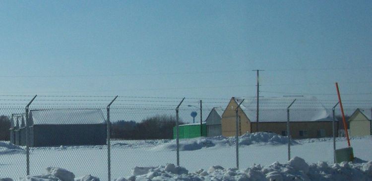
Facilities and aircraft
Clintonville Municipal Airport covers an area of 533 acres (216 ha) at an elevation of 822 feet (251 m) above mean sea level. It has three runways: 14/32 is 4,600 by 75 feet (1,402 x 23 m) with an asphalt surface; 4/22 is 3,300 by 100 feet (1,006 x 30 m) with an asphalt surface; 9/27 is 2,000 by 170 feet (610 x 52 m) with a turf surface.
For the 12-month period ending June 10, 2014, the airport had 11,500 aircraft operations, an average of 32 per day: 93% general aviation and 7% air taxi. In March 2017, there were 20 aircraft based at this airport: 18 single-engine and 2 multi-engine.
The CLINTONVILLE (CLI) non-directional beacon, 209 kHz, is located on field.