Country United States Time zone Central (CST) (UTC-6) Elevation 323 m | State Minnesota ZIP code 55027 Local time Monday 4:01 PM | |
 | ||
Weather 17°C, Wind SE at 32 km/h, 71% Humidity | ||
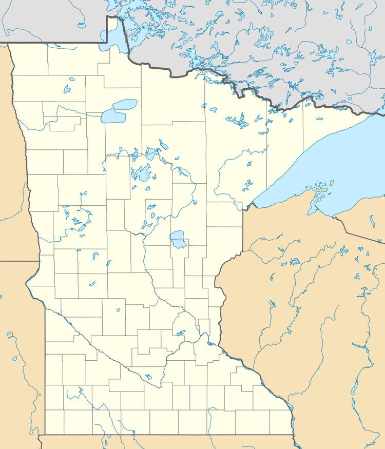
Claybank is an unincorporated community in Goodhue Township, Goodhue County, Minnesota, United States.
Map of Claybank, Goodhue Township, MN 55027, USA
The community is located near the junction of County 6 Boulevard and 350th Street. State Highway 58 (MN 58) is nearby. Nearby communities include Goodhue, Ryan, White Rock, Vasa, Belvidere Mills, and Hay Creek.
It was once a station on the former Chicago Great Western Railway between Red Wing and Rochester, Minnesota. Rail spurs extended two miles to the east to clay pits, where clay was mined and shipped by rail to the stoneware industry of Red Wing. A post office was established as Claybank in 1890, and remained in operation until 1904.
References
Claybank, Minnesota Wikipedia(Text) CC BY-SA
