
ZIP codes 46111, 46151, 46158 Elevation 206 m Local time Monday 4:53 PM | Time zone Eastern (EST) (UTC-5) GNIS feature ID 0453215 Area 79.41 km² Population 4,292 (2010) | |
 | ||
Weather 13°C, Wind S at 21 km/h, 93% Humidity | ||
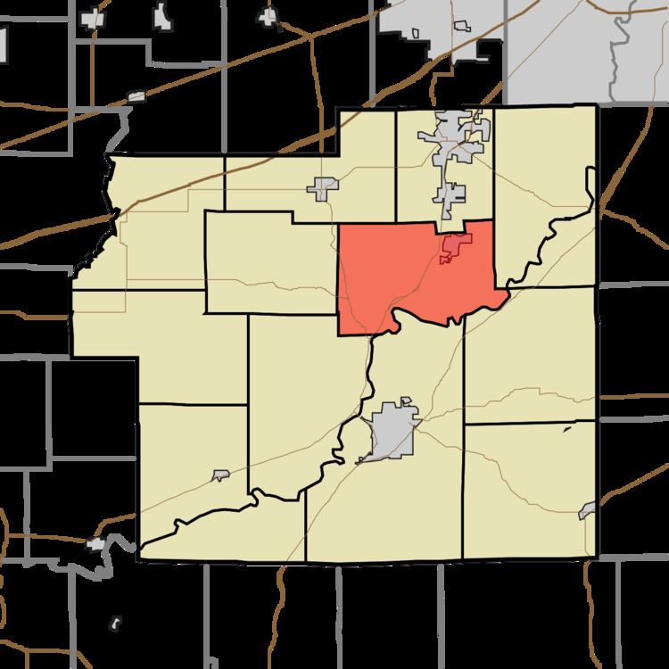
Clay Township is one of fourteen townships in Morgan County, Indiana, United States. As of the 2010 census, its population was 4,292 and it contained 1,707 housing units.
Contents
- Map of Clay Township IN USA
- History
- Geography
- Cities towns villages
- Unincorporated towns
- Cemeteries
- Major highways
- Airports and landing strips
- Lakes
- School districts
- Political districts
- References
Map of Clay Township, IN, USA
The township contains the incorporated towns of Brooklyn and Bethany, and the unincorporated town of Centerton. The entire township lies within the Metropolitan School District of Martinsville, with elementary schools at both Brooklyn and Centerton.
Clay Township is also home to the Goethe Link Observatory and Bradford Woods, both affiliated to Indiana University.
Fire protection is provided to the township by the Brooklyn Volunteer Fire Department, which operates stations in Brooklyn and on Robb Hill Road.
History
The Franklin Landers-Black and Adams Farm and Bradford Estate are listed on the National Register of Historic Places.
Geography
According to the 2010 census, the township has a total area of 30.66 square miles (79.4 km2), of which 29.99 square miles (77.7 km2) (or 97.81%) is land and 0.67 square miles (1.7 km2) (or 2.19%) is water.
Cities, towns, villages
Unincorporated towns
(This list is based on USGS data and may include former settlements.)
Cemeteries
The township contains these two cemeteries: Brooklyn and Butterfield.