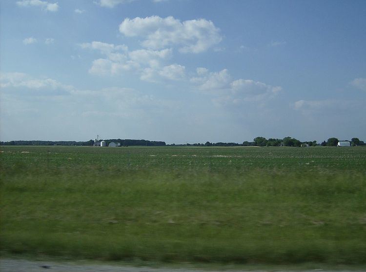
Country United States County Montgomery FIPS code 39-15518 Area 97.9 km² Local time Monday 4:52 PM | Time zone Eastern (EST) (UTC-5) GNIS feature ID 1086665 Elevation 320 m Population 8,847 (2010) | |
 | ||
Weather 12°C, Wind S at 21 km/h, 93% Humidity | ||
Clay Township is one of the nine townships of Montgomery County, Ohio, United States. As of the 2010 census the population was 8,847.
Contents
- Map of Clay Township OH USA
- Geography
- Fire Public Safety
- Education
- Economy
- Name and history
- Government
- References
Map of Clay Township, OH, USA
Geography
Located in the northwestern corner of the county, it borders the following townships and cities:
It is the only township in the county with a border on Darke County.
Three municipalities are located in Clay Township:
The following unincorporated communities are located in Clay Township:
Fire & Public Safety
Fire & Emergency Medical Service throughout Clay Township is available under contract with the following full service departments (arranged by order of size of catchment area):
Clay Township maintains a full-service police force with an enforcement area throughout unincorporated areas of the township. Brookville, Phillipsburg, and Verona also have a dedicated police force for their respective communities.
Education
The township is served by the following public school districts:
Economy
Interstate 70 crosses Clay Township east-west in the south and the National Road (US-40) crosses east-west just north of I-70. OH-49, also known as Dayton-Greenville Pike is a main north-south connector from Greenville to the north in Darke County to I-70.
Clay Township has established a Joint Economic Development District (a "JEDD") with the neighboring city of Clayton at the intersection of Interstate 70 and OH-49.
Name and history
Established on June 8, 1825. It is one of nine Clay Townships statewide. It is named after the statesman Henry Clay.
Government
The township is governed by a three-member board of trustees, who are elected in November of odd-numbered years to a four-year term beginning on the following January 1. Two are elected in the year after the presidential election and one is elected in the year before it. There is also an elected township fiscal officer, who serves a four-year term beginning on April 1 of the year after the election, which is held in November of the year before the presidential election. Vacancies in the fiscal officership or on the board of trustees are filled by the remaining trustees.
