
Country United States Elevation 427 m Local time Monday 3:50 PM | GNIS feature ID 0467602 Area 94.15 km² Population 696 (2000) | |
 | ||
Weather 22°C, Wind S at 42 km/h, 43% Humidity | ||
Clay Township is a township in Clay County, Iowa, USA. As of the 2000 census, its population was 696.
Contents
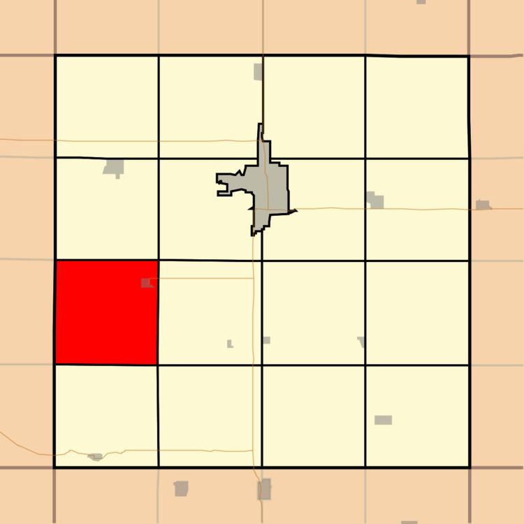
Map of Clay, IA, USA
History
Clay Township was the first township in Clay County. When it was created in 1859, it comprised the entire county.
Geography
Clay Township covers an area of 36.35 square miles (94.1 km2) and contains one incorporated settlement, Royal. According to the USGS, it contains three cemeteries: Center, TriMello and Willow Creek.
Transportation
Clay Township contains one airport or landing strip, Royal Airport.
References
Clay Township, Clay County, Iowa Wikipedia(Text) CC BY-SA