
Country United States Elevation 421 m Local time Monday 3:49 PM | GNIS feature ID 0470031 Area 94.35 km² Population 83 (2000) | |
 | ||
Weather 23°C, Wind S at 48 km/h, 58% Humidity | ||
Clay Township is a township in Butler County, Kansas, USA. As of the 2000 census, its population was 83.
Contents
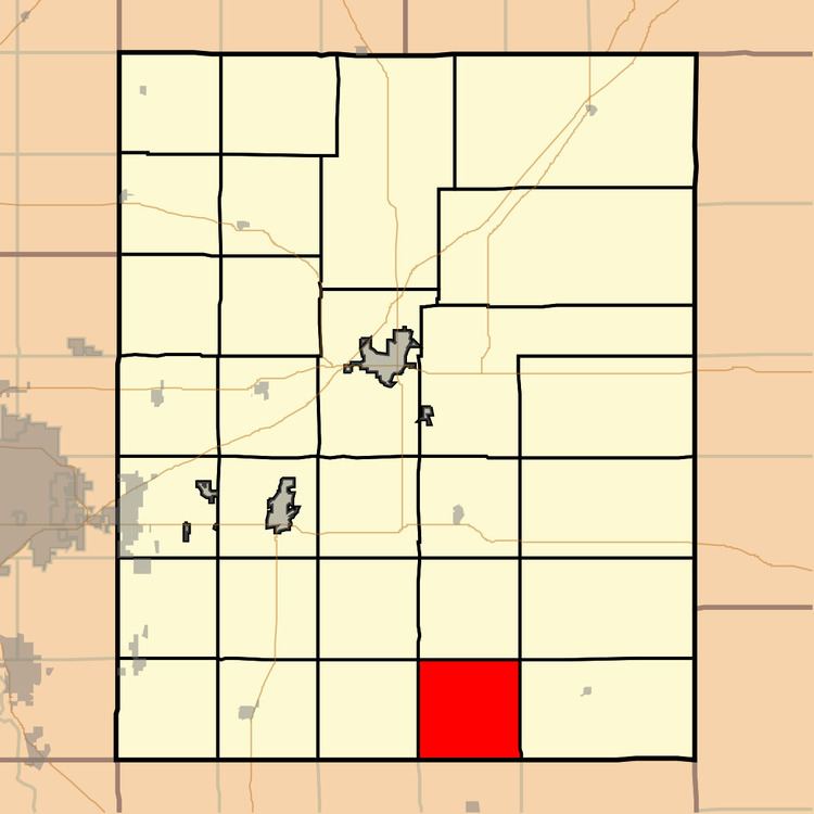
Map of Clay, KS, USA
History
Clay Township was created in 1879.
Geography
Clay Township covers an area of 36.43 square miles (94.4 km2) and contains no incorporated settlements. According to the United States Geological Survey, it contains two cemeteries: Bryant and Lone Star.
The stream of North Branch Rock Creek runs through this township.
References
Clay Township, Butler County, Kansas Wikipedia(Text) CC BY-SA