
Country United States GNIS feature ID 0766233 Area 108.8 km² Population 1,798 (2010) | FIPS code 29-14284 Elevation 319 m Local time Monday 3:49 PM | |
 | ||
Weather 24°C, Wind S at 48 km/h, 36% Humidity | ||
Clay Township is one of eleven townships in Atchison County, Missouri, United States. As of the 2010 census, its population was 1,798.
Contents
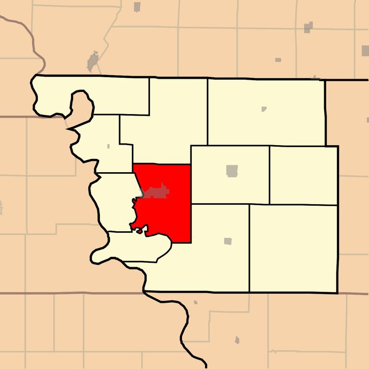
Map of Clay Township, MO, USA
Clay Township was organized in 1856, and named after Henry Clay of Kentucky.
Geography
Clay Township covers an area of 42.0 square miles (108.9 km2) and contains one incorporated settlement, Rock Port (the county seat). It contains five cemeteries: Bush, Green Hill, Hunter, Millsap and Smith.
The streams of Boney Branch, Turkey Creek and Volger Branch run through this township.
Transportation
Clay Township contains one airport, Luhrs Landing Strip.
References
Clay Township, Atchison County, Missouri Wikipedia(Text) CC BY-SA