
Country United States GNIS feature ID 0766211 Area 206.2 km² Population 626 (2010) | FIPS code 29-14248 Elevation 285 m Local time Monday 3:49 PM | |
 | ||
Weather 22°C, Wind S at 42 km/h, 57% Humidity | ||
Clay Township is one of ten townships in Adair County, Missouri, United States. As of the 2010 census, its population was 626. It is named in honor of Kentucky politician Henry Clay.
Contents
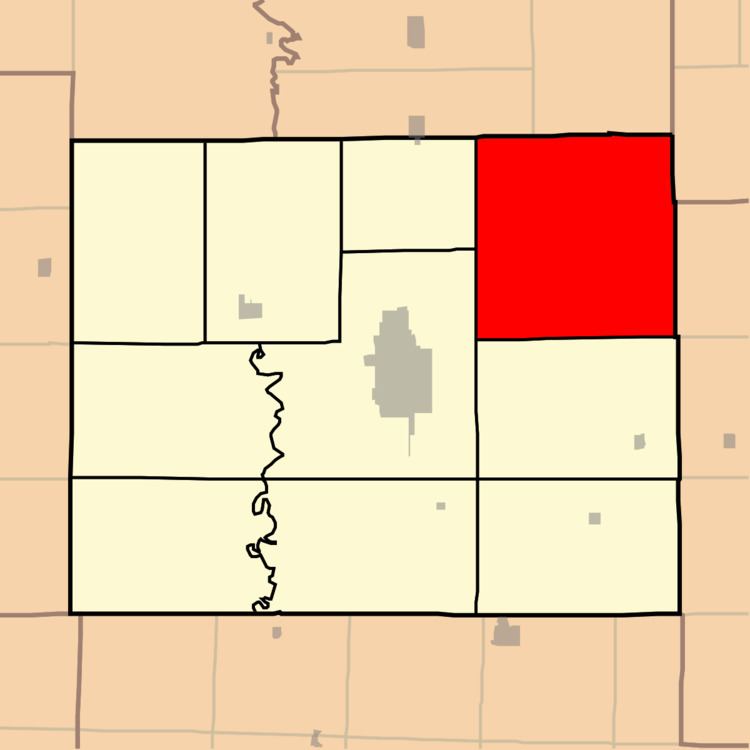
Map of Clay Township, MO, USA
Geography
Clay Township covers an area of 79.6 square miles (206.2 km2) and contains no incorporated settlements. It contains one cemetery, Richardson.
The streams of Bee Branch, Cottonwood Fork, Floyd Creek and Willow Branch run through this township.
References
Clay Township, Adair County, Missouri Wikipedia(Text) CC BY-SA