
FIPS code 01-15256 Elevation 285 m Zip code 35048 Local time Monday 3:58 PM | Time zone Central (CST) (UTC-6) GNIS feature ID 0116194 Area 26.7 km² Population 9,711 (2013) Area code 205 | |
 | ||
Weather 21°C, Wind S at 21 km/h, 45% Humidity | ||
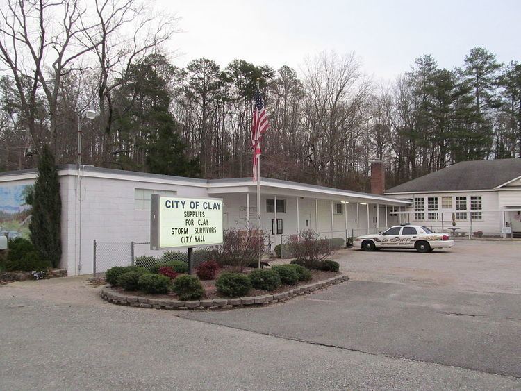
Clay is a city in northeastern Jefferson County, Alabama, United States. It is part of the Birmingham–Hoover–Cullman Combined Statistical Area. Local government is run by a mayor and city council. Before incorporation on June 6, 2000, it was a census-designated place (CDP). The population was 9,708 at the 2010 census.
Contents
Map of Clay, AL, USA
A total of 231 homes and businesses were either damaged or destroyed when an EF3 tornado passed through several subdivisions on January 23, 2012, especially in downtown Center Point. Some of the homes were flattened. Trees were snapped and uprooted along the path and Center Point Elementary School was damaged. A sixteen-year-old student from Jefferson County International Baccalaureate School lost her life in the process of trying to take cover during the storm.
The oldest church in Jefferson County, Mount Calvary Presbyterian Church, is located in Clay. The congregation has been meeting continually since 1806.
Geography
Clay is located at 33°42′0″N 86°37′23″W (33.700037, -86.623032).
According to the U.S. Census Bureau, the CDP had a total area of 10.3 square miles (27 km2), of which 10.3 square miles (27 km2) was land and 0.04 square miles (0.10 km2) (0.29%) was water.
Media
The local newspaper is The Trussville Tribune. The Tribune, which covers crime, government, sports and community events in Trussville, Clay and Pinson, is published each Wednesday and provides up to the minute news online.
Demographics
As of the census of 2000, there were 4,947 people, 1,636 households, and 1,421 families residing in the CDP. The population density was 479.7 people per square mile (185.3/km2). There were 1,683 housing units at an average density of 163.2 per square mile (63.0/km2). The racial makeup of the CDP was 97.96% White, 0.71% Black or African American, 0.30% Native American, 0.40% Asian, 0.12% from other races, and 0.51% from two or more races. 0.40% of the population were Hispanic or Latino of any race.
There were 1,636 households out of which 49.3% had children under the age of 18 living with them, 76.4% were married couples living together, 8.3% had a female householder with no husband present, and 13.1% were non-families. 11.2% of all households were made up of individuals and 3.9% had someone living alone who was 65 years of age or older. The average household size was 3.02 and the average family size was 3.26.
In the CDP, the population was spread out with 30.7% under the age of 18, 7.4% from 18 to 24, 33.6% from 25 to 44, 22.4% from 45 to 64, and 5.9% who were 65 years of age or older. The median age was 35 years. For every 100 females there were 98.0 males. For every 100 females age 18 and over, there were 94.9 males.
The median income for a household in the CDP was $61,042, and the median income for a family was $64,798. Males had a median income of $40,092 versus $28,787 for females. The per capita income for the CDP was $21,323. About 3.9% of families and 4.5% of the population were below the poverty line, including 6.3% of those under age 18 and 11.7% of those age 65 or over.
2010 census
As of the census of 2010, there were 9,708 people, 3,574 households, and 2,780 families residing in the city. The population density was 480 people per square mile (185/km2). There were 3,799 housing units at an average density of 368.8 per square mile (141.8/km2). The racial makeup of the city was 84.1% White, 13.3% Black or African American, 0.3% Native American, 0.6% Asian, 0.6% from other races, and 1.1% from two or more races. 1.3% of the population were Hispanic or Latino of any race.
There were 3,574 households out of which 32.4% had children under the age of 18 living with them, 64.3% were married couples living together, 9.7% had a female householder with no husband present, and 22.2% were non-families. 20.0% of all households were made up of individuals and 9.2% had someone living alone who was 65 years of age or older. The average household size was 2.72 and the average family size was 3.13.
In the city, the population was spread out with 23.9% under the age of 18, 8.8% from 18 to 24, 24.2% from 25 to 44, 31.9% from 45 to 64, and 11.1% who were 65 years of age or older. The median age was 40.1 years. For every 100 females there were 94.3 males. For every 100 females age 18 and over, there were 95.5 males.
The median income for a household in the city was $70,273, and the median income for a family was $82,911. Males had a median income of $52,800 versus $42,813 for females. The per capita income for the city was $28,000. About 1.7% of families and 3.6% of the population were below the poverty line, including 4.7% of those under age 18 and 8.7% of those age 65 or over.