
Population 218 (2011) Civil parish Claxton Sovereign state United Kingdom Dialling code 01904 | OS grid reference SE694601 Local time Monday 9:31 PM | |
 | ||
Weather 5°C, Wind W at 10 km/h, 83% Humidity | ||
Claxton is a village and part of the Claxton & Sand Hutton civil parish in the Ryedale district of North Yorkshire, England. It is near the A64 road and 8 miles (13 km) north-east of York.
Contents
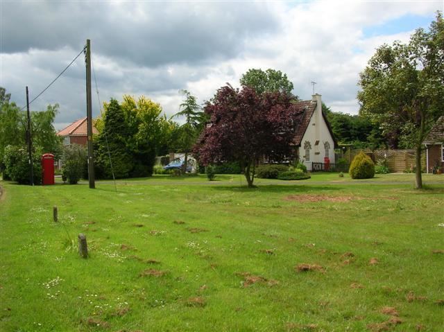
Map of Claxton, UK
History
The village is mentioned twice in the Domesday Book as Claxtorp in the Bulford hundred. The manor was split between Ligulf and Arnger and Gospatric, son of Arnketil before the Norman invasion. Afterwards the parts of the manor were passed to the Crown and Count Robert of Mortain who made Nigel Fossard lord of the manor. The Crown gifted some of the manor to St Mary's Abbey until the dissolution when it was granted to Thomas Bamburgh of Foston. It was held by the family until 1857 when it became the property of the lord of Sand Hutton manor.
The origin of the name of the village is uncertain. It could be from an Old Norse name of Clacc or Klakk. It could also be from the Old English word Clacc meaning hill or peak with the -tun suffix for settlement.
A Wesleyan Chapel was built in the village in 1842 and the Primitive Methodists built a chapel in 1850.
Governance
The village lies within the Thirsk and Malton UK Parliament constituency. It also lies within the Hovingham & Sheriff Hutton electoral ward of North Yorkshire County Council and the Ryedale South West ward of Ryedale District Council.
The Parish Council has six members with representation split equally between the two villages of the Parish.
Geography
The village lies just off the A64 road and the nearest settlements are Sand Hutton 1.1 miles (1.8 km) to the south, Flaxton 1.5 miles (2.4 km) to the north-west and Harton 1.1 miles (1.8 km) to the north-east.
The 2001 UK Census recorded the population as 219 of which 172 were over the age of sixteen years. There were 102 dwellings of which 56 were detached. The population at the 2011 census had only reduced marginally to 218.