
Census division 11 Post office Founded 1904 (as "French") Area 61 ha Area code 306 | Incorporated (Village) 1908 (as "French") Population 345 (2006) Local time Monday 3:00 PM | |
 | ||
Weather -11°C, Wind NW at 24 km/h, 73% Humidity | ||
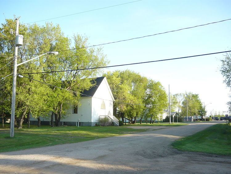
Clavet (pronounced "cluh vet") is a village located in central Saskatchewan, Canada. It is located along an old section of the Yellowhead Highway, about 15 kilometers southeast of Saskatoon.
Contents
Map of Clavet, SK, Canada
History
Originally established as French, Saskatchewan the name of the community was changed to Clavet on December 1, 1909. Due to its low population level, in 1927 the village was dissolved, with administrative responsibilities transferred to the rural municipality of Blucher; it was not until 1964 that the population reached a point that permitted Clavet to become an organized municipality again.
Services
In Clavet there is a motel (and bar), one gas station, an auto repair shop, and a school. The school is kindergarten to grade twelve and it is named after the town (Clavet Composite School). Clavet is approx. 30 minutes away from downtown Saskatoon.
Transportation
Clavet is located along an old section of the Saskatchewan Highway 16, just south of where it joins with Saskatchewan Highway 316. It is now bypassed by a double lane version of Highway 16 and is accessible from Highway 316.
The Saskatoon/Corman Air Park is located west of Clavet.
The Canadian National Railway passes through the village of Clavet.