
Country United States FIPS code 31-09165 Area 80 ha Zip code 68628 Local time Monday 9:56 AM | Time zone Central (CST) (UTC-6) GNIS feature ID 0828159 Elevation 494 m Population 358 (2013) Area code 308 | |
 | ||
Weather 18°C, Wind S at 43 km/h, 62% Humidity | ||
Clarks is a village in Merrick County, Nebraska, United States. The population was 369 at the 2010 census. It is part of the Grand Island, Nebraska Micropolitan Statistical Area.
Contents
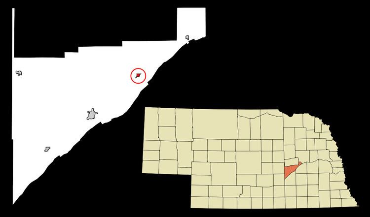
Map of Clarks, NE 68628, USA
History
Clarks was platted in 1866 when the Union Pacific Railroad was extended to that point. It is named for Silas Henry H. Clark, superintendent of the Union Pacific Railroad.
Geography
Clarks is located at 41°13′1″N 97°50′20″W (41.216880, -97.838803).
According to the United States Census Bureau, the village has a total area of 0.31 square miles (0.80 km2), all of it land.
2010 census
As of the census of 2010, there were 369 people, 145 households, and 105 families residing in the village. The population density was 1,190.3 inhabitants per square mile (459.6/km2). There were 167 housing units at an average density of 538.7 per square mile (208.0/km2). The racial makeup of the village was 94.9% White, 0.3% Native American, 0.8% Asian, 1.6% from other races, and 2.4% from two or more races. Hispanic or Latino of any race were 4.1% of the population.
There were 145 households of which 37.9% had children under the age of 18 living with them, 60.7% were married couples living together, 6.2% had a female householder with no husband present, 5.5% had a male householder with no wife present, and 27.6% were non-families. 23.4% of all households were made up of individuals and 12.4% had someone living alone who was 65 years of age or older. The average household size was 2.54 and the average family size was 3.03.
The median age in the village was 39.2 years. 28.5% of residents were under the age of 18; 5.4% were between the ages of 18 and 24; 22.2% were from 25 to 44; 28.1% were from 45 to 64; and 15.7% were 65 years of age or older. The gender makeup of the village was 47.2% male and 52.8% female.
2000 census
As of the census of 2000, there were 361 people, 157 households, and 102 families residing in the village. The population density was 1,164.3 people per square mile (449.6/km²). There were 179 housing units at an average density of 577.3 per square mile (222.9/km²). The racial makeup of the village was 98.06% White, 0.83% from other races, and 1.11% from two or more races. Hispanic or Latino of any race were 2.22% of the population.
There were 157 households out of which 26.8% had children under the age of 18 living with them, 59.2% were married couples living together, 3.8% had a female householder with no husband present, and 34.4% were non-families. 31.8% of all households were made up of individuals and 21.0% had someone living alone who was 65 years of age or older. The average household size was 2.30 and the average family size was 2.88.
In the village, the population was spread out with 23.3% under the age of 18, 5.3% from 18 to 24, 25.5% from 25 to 44, 23.5% from 45 to 64, and 22.4% who were 65 years of age or older. The median age was 42 years. For every 100 females there were 81.4 males. For every 100 females age 18 and over, there were 87.2 males.
As of 2000 the median income for a household in the village was $29,583, and the median income for a family was $40,625. Males had a median income of $26,875 versus $25,313 for females. The per capita income for the village was $15,742. About 12.8% of families and 16.7% of the population were below the poverty line, including 25.9% of those under age 18 and 16.3% of those age 65 or over.
Education
Clarks Public School was a K-12 school until it consolidated with the Polk, Hordville, and Marquette school systems in 2000.