
Isolation 16.40 mi (26.39 km) Prominence 839 m | Elevation 3,948 m | |
 | ||
Topo map USGS 7.5' topographic mapClark Peak, Colorado Similar Mount Richthofen, Mount Julian, Mount Jasper, Mount Toll, Hagues Peak | ||
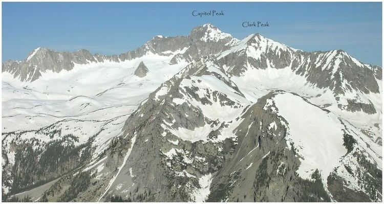
Clark Peak is the highest summit of the Medicine Bow Mountains range of the Rocky Mountains of North America. The prominent 12,960-foot (3,950 m) peak is located in the Rawah Wilderness of Routt National Forest, 6.3 miles (10.1 km) north-northwest (bearing 342°) of Cameron Pass, Colorado, United States, on the drainage divide between Jackson and Larimer counties. Clark Peak is the highest point of Jackson County and the entire drainage basin of the North Platte River.
Map of Clark Peak, Colorado 80512, USA
References
Clark Peak (Medicine Bow Mountains) Wikipedia(Text) CC BY-SA