
Country Canada City Brampton Forward sortation area L?? Province Lake Ontario | Regional municipality Peel Time zone EST (UTC-5) Area code(s) 905 and 289 | |
 | ||
Weather 0°C, Wind E at 13 km/h, 67% Humidity | ||
Claireville is an unincorporated community in Brampton, Ontario, Canada bordering Toronto. It is bounded by Goreway Drive to the west, Highway 50 to the east, Steeles Avenue to the south and Castlemore Road to the north.
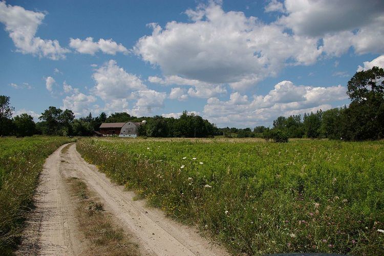
The name Claireville originates from a nearby historical village located in Toronto, however it is now mainly associated with the Claireville Conservation Area prominent in the region, and one of the largest natural regions in the Greater Toronto Area. Until the early 2000s the region was largely dominated by agricultural lands with small pockets of industrial and estate residential areas. However, subdivisions are currently being developed throughout the area north of Queen Street East.
Riverstone Golf and Country Club and Indian Line Campground are the only non-industrial or residential uses in the area.
The area is served by three schools:
Besides Clairville Conservation Area, smaller green spaces are found in the residential areas of Clairville: