
OS grid reference NC039269 Sovereign state United Kingdom Postcode district IV27 4 | Lieutenancy area Highland | |
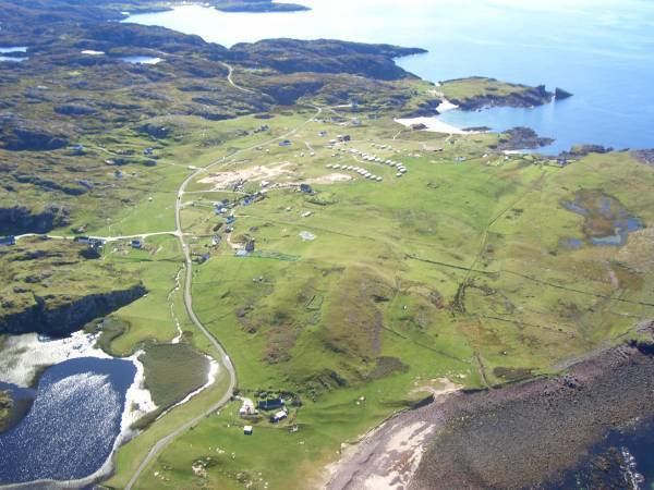 | ||
Clachtoll (Scottish Gaelic: Clach Toll) is a coastal fishing and crofting village, situated on the Bay of Clachtoll, on the north western edge of Scotland, in the ancient parish of Assynt. It is in the postal district of Lairg, Sutherland, Scottish Highlands (a larger village some fifty miles inland) and lies in the County of Sutherland and in the Scottish council area of Highland.
Map of Clachtoll, Lairg, UK
Its name derives from the Gaelic and refers to the very large broken rock, the remains of a natural arch. (Gaelic: "clach" is "rock" and "toll" means "hole", "cavity" etc.) on the headland nearby.
References
Clachtoll Wikipedia(Text) CC BY-SA