
Canton Fauville-en-Caux Area 5.47 km² | Region Normandy Intercommunality Cœur de Caux Local time Tuesday 9:38 PM | |
 | ||
Weather 6°C, Wind S at 10 km/h, 80% Humidity | ||
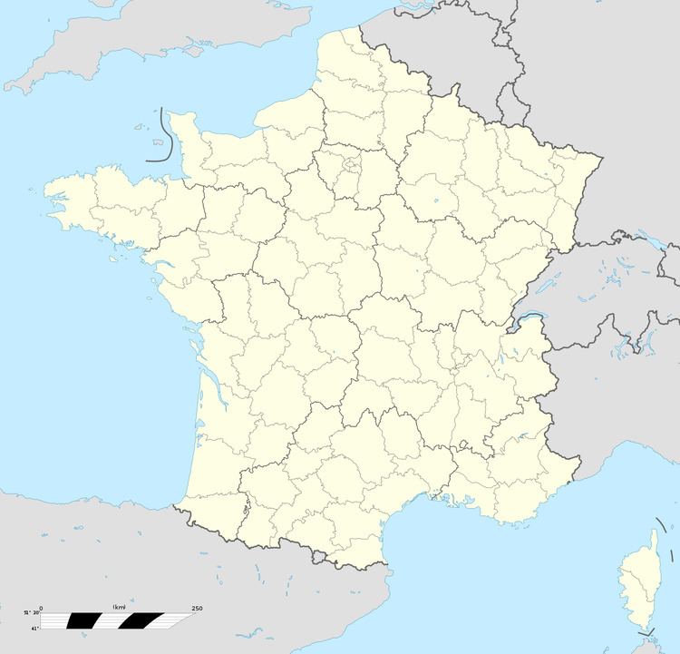
Cléville is a commune in the Seine-Maritime department in the Haute-Normandie region in northern France.
Contents
Map of 76640 Cl%C3%A9ville, France
Geography
A small farming village situated in the Pays de Caux, some 22 miles (35 km) northeast of Le Havre, at the junction of the D29 and D228 roads. The A29 autoroute passes by the village in the northern part of the commune.
Places of interest
References
Cléville, Seine-Maritime Wikipedia(Text) CC BY-SA