
Local time Monday 10:17 AM | Area 40.87 km² | |
 | ||
Intercommunality Fercher - Pays florentais Weather 8°C, Wind S at 21 km/h, 93% Humidity | ||
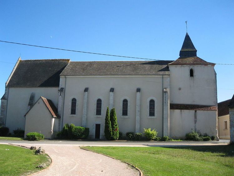
Civray is a commune in the Cher department in the Centre region of France.
Contents
Map of 18290 Civray, France
Geography
A farming area comprising the village and several hamlets situated in the valley of the river Pontet some 15 miles (24 km) southwest of Bourges at the junction of the N151 with the D88, D184 and D84 roads.
Sights
References
Civray, Cher Wikipedia(Text) CC BY-SA