
Elevation 1,041 m | ||
 | ||
Traversed by Italian Road 62 (Strada Statale 62 della Cisa) Province Province of Massa and Carrara Similar Apeninos tosco‑emilianos, Col du Lagastrello, Monte Sillara, Monte Orsaro, Castello del Piagnaro | ||
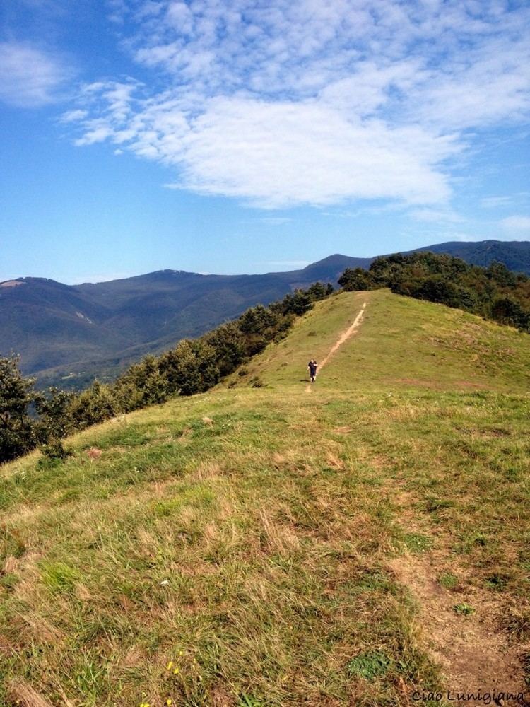
The Cisa Pass or La Cisa Pass is a mountain pass in Italy that marks the division between the Ligurian and Tuscan Apennines. It is located on the border between northern Tuscany (Province of Massa-Carrara) and Emilia-Romagna (Province of Parma), near the source of the Magra River at an altitude of 1,040 meters (3,414 feet) above sea level.
Map of Cisa Pass, 54027 Pontremoli, Province of Massa and Carrara, Italy
References
Cisa Pass Wikipedia(Text) CC BY-SA