
- elevation 1,503 ft (458 m) | - elevation 0 ft (0 m) Country United States of America | |
 | ||
Sources Aleutian Range, Alaska Peninsula | ||
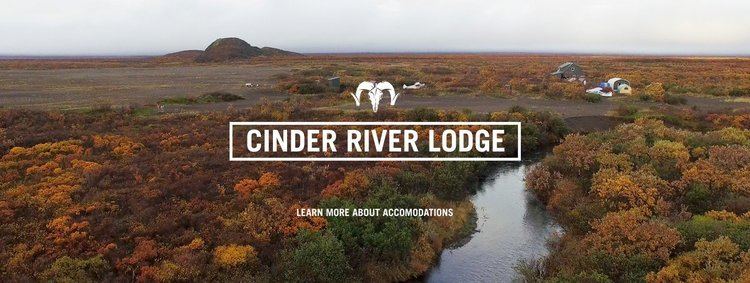
The Cinder River is a stream, 44 miles (71 km) long, in southwestern Lake and Peninsula Borough in the U.S. state of Alaska. It begins in Aniakchak National Monument and Preserve and flows northwest into Bristol Bay.
Map of Cinder River, Alaska, USA
Silver salmon are plentiful in the Cinder River, which drains cinder beds on the flanks of Mount Aniakchak. Accessible mainly by small airplanes that can land on cinder beds or beach sand, the river is lightly fished.
References
Cinder River Wikipedia(Text) CC BY-SA