
Country Canada RCM Antoine-Labelle Time zone EST (UTC−5) Area 321.4 km² Province Québec | Region Laurentides Constituted October 26, 1940 Postal code(s) J0W 1A0 Local time Friday 7:40 AM Population 892 (2011) | |
 | ||
Weather -21°C, Wind S at 2 km/h, 77% Humidity | ||
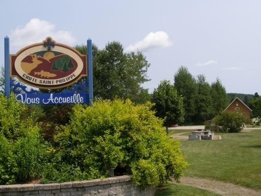
Chute-Saint-Philippe is a municipality in the Laurentides region of Quebec, Canada, part of the Antoine-Labelle Regional County Municipality.
Contents
Map of Chute-Saint-Philippe, QC, Canada
The village is located in a fairly flat valley surrounded by a mountainous area of the Laurentian Hills that are dominated by mixed forest.
History
The settlement initially had the name Chute-Leon at the beginning of the 20th century, in memory of Pope Leo XIII (1810-1903), and was called Victoria Falls by 1903, in honour of Queen Victoria (1819-1901).
In 1921, a mission was founded here with Philip the Apostle as its patron saint. In 1934, the place was renamed to Chute-Saint-Philippe, taking its name from a drop on the Kiamika River and the patron saint. In 1966, the mission received its status as a parish.
Demographics
Population trend:
Private dwellings occupied by usual residents: 424 (total dwellings: 860)
Mother tongue: