
Population 251 (2011) Civil parish Churchover Local time Friday 12:12 PM | OS grid reference SP5180 Sovereign state United Kingdom Dialling code 01788 | |
 | ||
Weather 6°C, Wind SE at 23 km/h, 97% Humidity | ||
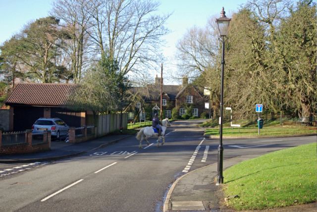
Churchover is a small village and civil parish in Warwickshire, England. The population of the parish in the 2001 census was 230, increasing to 251 at the 2011 census.
Map of Churchover, Rugby, UK
It is located around 4 miles (7 km) north of Rugby, and is administratively part of the borough of Rugby.
The village lies just west of the A426 road, and just north of the M6 motorway on the border with Leicestershire.
Within the parish boundaries is Coton House, a mansion house dating from 1787.
The village contains the Holy Trinity Church which dates partly from the 15th century and is a Grade II* listed building.
References
Churchover Wikipedia(Text) CC BY-SA