
OS grid reference SP992199 Country England Post town DUNSTABLE Local time Tuesday 12:40 AM Civil parish Totternhoe UK parliament constituency South West Bedfordshire | Region East Sovereign state United Kingdom Postcode district LU6 Dialling code 01582 Ceremonial county Bedfordshire | |
 | ||
Weather 5°C, Wind W at 14 km/h, 88% Humidity | ||
Church End is a hamlet located in Bedfordshire, England.
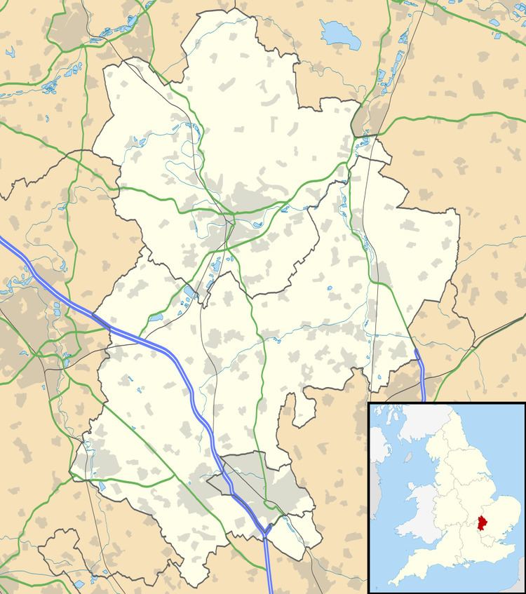
Map of Church End, Totternhoe, Dunstable, UK
The settlement forms part of the wider Totternhoe village (where the 2011 Census population was included) and civil parish, with Church End being the closest part of the parish to the larger town of Dunstable. Totternhoe Lower School is located in Church End, as is "The Old Farm Inn" public house.
References
Church End, Totternhoe Wikipedia(Text) CC BY-SA