
Population 932 (2011 census) LGA(s) Shire of Yarra Ranges Chum Creek Healesville Local time Tuesday 10:09 AM | Postcode(s) 3777 Postal code 3777 | |
 | ||
Location 65 km (40 mi) from Melbourne5 km (3 mi) from Healesville Weather 20°C, Wind E at 10 km/h, 53% Humidity | ||
Chum Creek is a town in Victoria, Australia, 50 km north-east from Melbourne's central business district. Its local government area is the Shire of Yarra Ranges. At the 2011 census, Chum Creek had a population of 932.
Contents
Map of Chum Creek VIC 3777, Australia
The area is served by the 687 bus route operated from Healesville by McKenzie's Tourist Services.
Government
Private
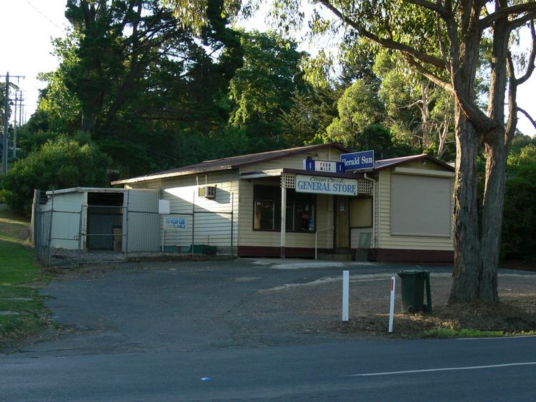
Local Store
References
Chum Creek, Victoria Wikipedia(Text) CC BY-SA