Country Cyprus Time zone EET (UTC+2) Elevation 337 m Population 190 (2001) | Postal code 6129 Local time Monday 6:24 AM | |
 | ||
Weather 7°C, Wind N at 13 km/h, 72% Humidity | ||
Choulou (Greek: Χούλου) is a village in the Paphos District of Cyprus, located 6 km west of Agios Fotios at an altitude of about 350m above sea level. It is located in the centre of the district next to the village Lemona and near Statos-Agios Photios and Letymbou villages.
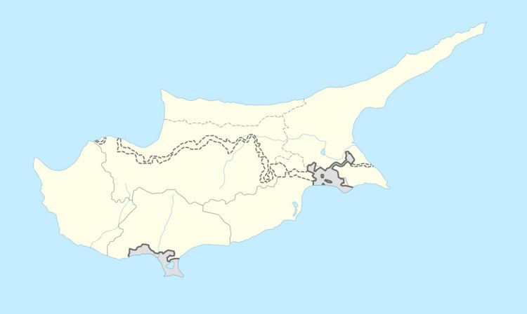
Map of Choulou, Cyprus
Ιn the period of Frankish rule in Cyprus Choulou was a small feudal town, and 50 years ago it had a population of around 1,000. Today the population is around 150 and much of the village is abandoned.
Just outside the village is the Ammati forest. The traditional Cypriot tale 'Arodafnousa' born in Choulou.
Choulou has five churches: Holy Cross, St Kononas, the Venetian church, St Theodoros, and the Byzantine church dedicated to St George. The village also has 2 taverns, 2 coffee shops, and one snack bar.
