
Time zone IST (UTC+5:30) Area 17.43 km² Local time Sunday 11:28 PM | Vehicle registration TS Population 13,752 (2011) | |
 | ||
Weather 26°C, Wind SE at 11 km/h, 73% Humidity | ||
Chityal is a village in Nalgonda district of the Indian state of Telangana. It is located in Chityal mandal of Nalgonda division.
Contents
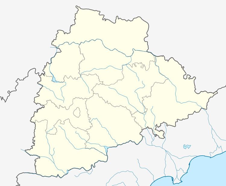
Map of Chityala, Telangana 508114
Geography
Chityal is located at 17.2333°N 79.1333°E / 17.2333; 79.1333. It has an average elevation of 304 metres (1000 ft). It is around 72 km from Hyderabad,28 km from Nalgonda.
History
In Kakatiya Dynasty, Chityala named as Chittala Sangyapuram. The details of this is available in Gram Panchayat Office. In 1984, for laying railway track the inscription pillar found along with 800-year-old Anjaneya Swami Temple.
References
Chityal, Nalgonda district Wikipedia(Text) CC BY-SA