District Datia Sex ratio 0.828 ♂/♀ Population 2,412 (2011) | Time zone IST (UTC+5:30) Area 5.989 km² | |
 | ||
Chirula (Hindi: चिरूला) is a village situated in Datia District of Indian state of Madhya Pradesh. The population according to the latest census is 2,412.
Contents
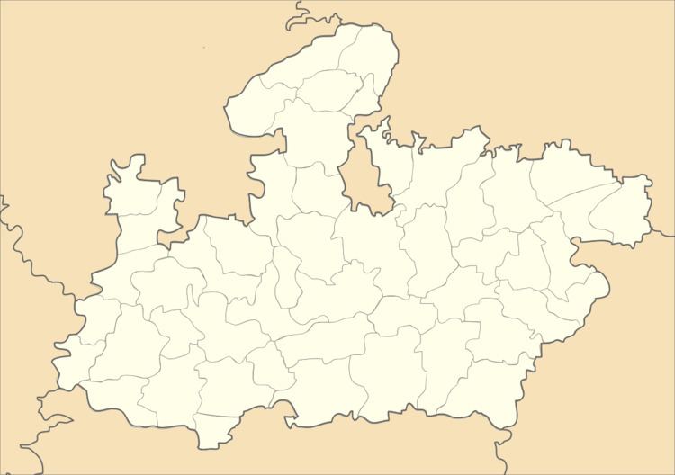
Map of Chirula, Madhya Pradesh
Demographics
According to the latest 2011 census, Chirula has a population of 2412 divided into 604 families. Male population is 1299 and that of female is 1113. Chirula has an average literacy rate of 71.96 percent, higher than state average of 69.32 percent, male literacy is 83.74 percent, and female literacy is 58.28 percent. In Chirula, 14.55 percent of the population is under 6 years of age. Out of the total population, 1027 are engaged in work or business activity.
Scheduled Castes and Scheduled Tribes constitutes 33.29 percent and 0.12 percent of the total population in Chirula.
Administration
Chirula village comes under the administration of Datia Tehsil. The village code is 454765 and it is administered by a sarpanch. Chirula has one each primary school, secondary school and primary health sub center and a post office. The total income and expenditure are approx ₹124 lakh (US$180,000) and ₹111 lakh (US$160,000) with the total irrigated area is 171 hectares. There are a total of 277 boys and 267 girls enrolled in schools between the age of 5-14.
