Rahul Sharma (Editor)

Chirac, Lozère

Updated on
Edit
Like
Comment
Share on FacebookTweet on TwitterShare on LinkedInShare on Reddit
Country
  
France

Department
  
Lozère

Intercommunality
  
Gévaudan

Area
  
33.79 km²

Arrondissement
  
Mende

Region
  
Occitanie

Canton
  
Chirac

Population (1999)
  
1,006

Local time
  
Sunday 4:33 PM

Chirac, Lozère

Weather
  
4°C, Wind W at 16 km/h, 100% Humidity

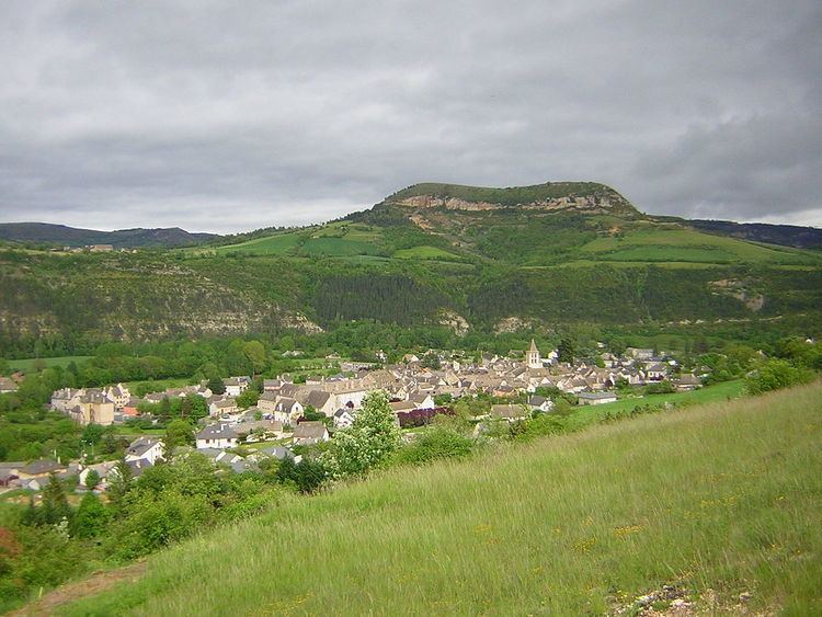
Chirac is a former commune in the Lozère département in southern France. On 1 January 2016, it was merged into the new commune of Bourgs-sur-Colagne.

Contents

Map of 48100 Chirac, France

Geography

Situated on the banks of the Colagne river in the heart of the Massif central. The D809 road passes through the village.

Places and monuments

  • The Fare dolmen
  • The twelfth century Romanesque church.
  • The chapel of Saint-Jean-Baptiste.
  • The family chapels of the Chazette and the Volmanières
  • The English cross: The English, who ravaged the country in the 14th century, were soundly beaten in a battle on the heights of the village. This place carries today the name of Cemetery of the English or Cross of the English. A cross, on which there is an inscription "CH des M" and "1701 - 1922", marks the site of the battle. During the construction of the A75 autoroute, the cross was renovated and moved a few metres from its original position.
  • The bridge over the Colagne river.
  • Activities

    As in the majority of the towns of Lozère, the principal activity is farming, although service industry sectors have started to play a larger part in the region.

  • Farming is essentially sheep and cattle. The size of the upland meadows allows the farmers to have comparatively large flocks.
  • Notable people

  • Colonel Marceau Crespin (1915–1988)
  • Nicolaï Greschny (1912–1985), artist
  • References

    Chirac, Lozère Wikipedia


    Similar Topics