Time zone IST (UTC+5:30) Elevation 909 m | Named for Chinyali village PIN 249196 Population 15,500 (2011) | |
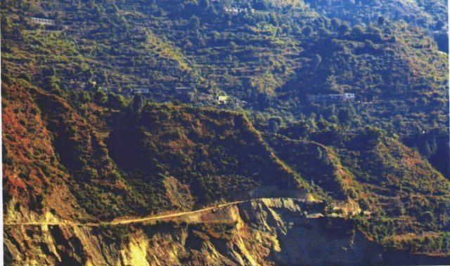 | ||
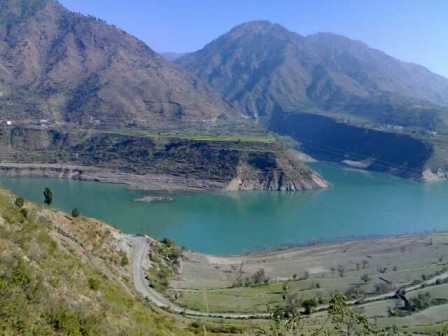
Chinyalisaur is a small town and tehsil headquarters in the Uttarkashi district of the Indian state of Uttarakhand. It is a semi-urban settlement. It is named after a nearby village called Chinyali. 'Saur' is the Garhrwali word for "plain" area. Chinyalisaur is located along the pilgrimage route to Gangotri, surrounded by small mountains, on the banks of the river Bhagirathi.
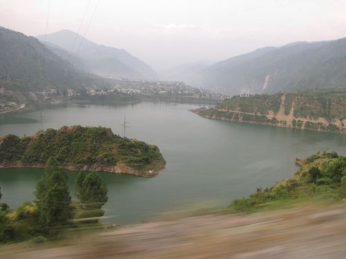
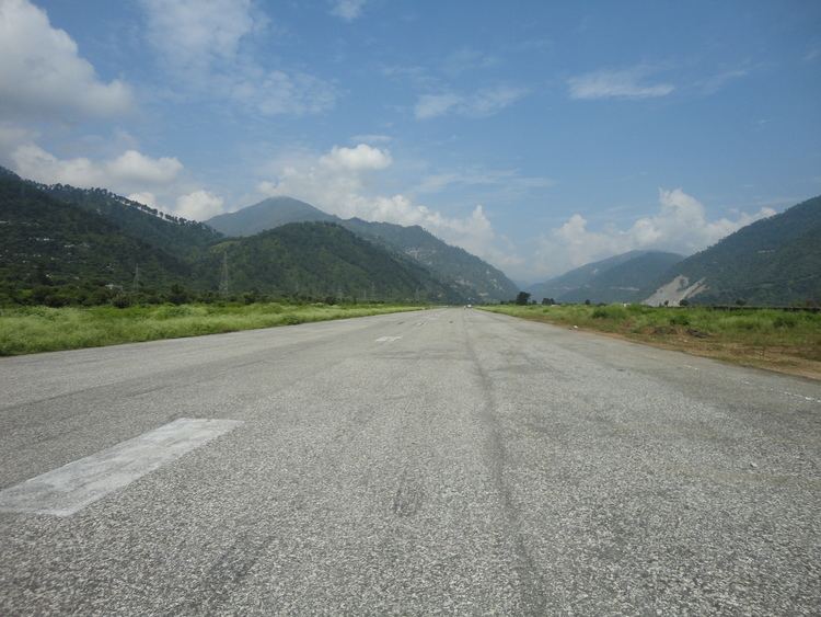
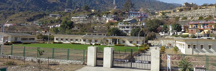
It is located on the banks of the holy river Bhagirathi. It is around 70 kilometres from Chamba, and 34 kilometers from Uttarkashi. It has one intermediate college and one degree college. GIC Inter College has completed its golden 50 years in 2015. The population of the city is about 15,500. The main occupation of the people here is agriculture and government job. Headquarters of Maneri Bhali Hydroelectric Project are also here. Lake formed due to Tehri power project is also cover some area of this town. It is serverd by Bharkot Airport which is used by the Indian Air Force as an Advanced Landing Ground.
Birja inter colleg chinyalisaur