
Country India District West Godavari Time zone IST (UTC+5:30) Area code 08823 | State Andhra Pradesh Talukas Chintalapudi Population 25,952 (2011) Local time Sunday 7:02 PM | |
 | ||
Named for At The Entrance Of Town There Will Be Number Of Tamarind Trees in Telugu Tamarind Tree Means చింతచెట్టు So The Name Of Town To Be Called As చింతలపూడి Weather 31°C, Wind S at 8 km/h, 56% Humidity | ||
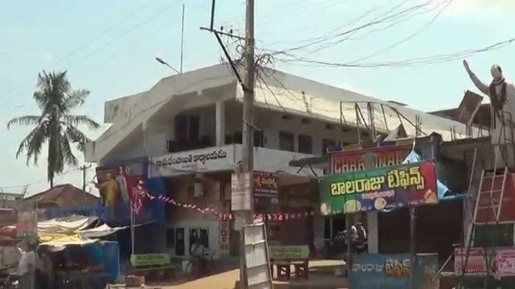
Chintalapudi is a village in West Godavari district of the Indian state of Andhra Pradesh .
Contents
Map of Chintalapudi, Andhra Pradesh 534460
Demographics
Chintalapudi is located in West Godavari district, Andhra Pradesh. It has population of 25952 of which 12438 are males while 13514 are females as per Population Census 2011. In Chintalapudi village population of children with age 0-6 is 2652. Average Sex Ratio of Chintalapudi village is 1087 which is higher than Andhra Pradesh state average of 993. Child Sex Ratio for the Chintalapudi as per census is 997, higher than Andhra Pradesh average of 939. Chintalapudi village has higher literacy rate compared to Andhra Pradesh. In 2011, its literacy rate was 78.08% compared to 67.02% of Andhra Pradesh.
Transport
Eluru is the nearest city to Chintalapudi at a distance of 47 km. APSRTC runs busses from Eluru, Jangareddygudem and Sattupalli to bus station at Chintalapudi.
Villages
Villages in the Chintalapudi Mandal include: