
OS grid reference SP3500 Local time Sunday 6:09 AM | Sovereign state United Kingdom Postcode district OX18 Dialling code 01993 | |
 | ||
Weather 6°C, Wind S at 14 km/h, 85% Humidity Civil parish | ||
Chimney is a hamlet on the River Thames near Shifford Lock, 6 miles (9.7 km) south of Witney in Oxfordshire. It is part of the civil parish of Aston, Cote, Shifford and Chimney.
Contents
Map of Chimney, Bampton, UK
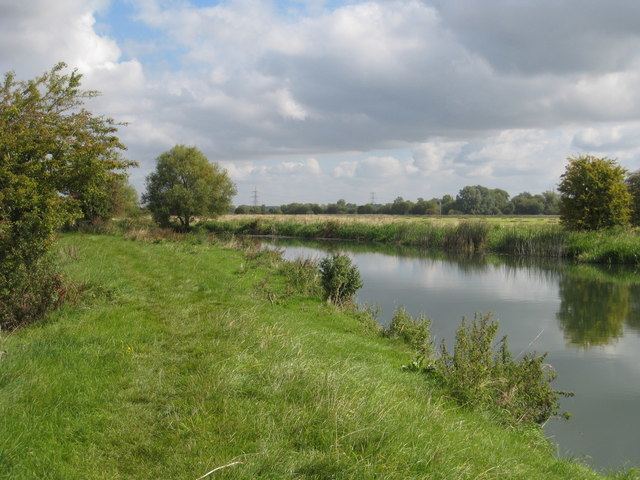
Chimney Meadows 620 acres (250 ha) is the largest nature reserve managed by the Berkshire, Buckinghamshire and Oxfordshire Wildlife Trust.
History
Chimney's toponym is derived Old English, meaning "Island of a man named Ceomma". A large Anglo-Saxon cemetery, in use from the mid 10th century to the mid 11th century, has been found west of Chimney Farm. Chimney has been a small settlement since then. There were about 18 households in the 13th century, and the population reached a peak of 46 in 1821. In 1931, the last year for which separate figures are available, the population was 24.
Until the 19th century Chimney was a township in the parish of Bampton. It was made a separate civil parish in 1866. In 1931 the parish was united with Aston and Cote to form Aston Bampton, which was united with Shifford in 1954 to form the parish of Aston Bampton and Shifford, later renamed Aston, Cote, Shifford and Chimney.