
Population 894 (2011 Census) Civil parish Chilton | OS grid reference SU4985 Sovereign state United Kingdom Dialling code 01235 UK parliament constituency Wantage | |
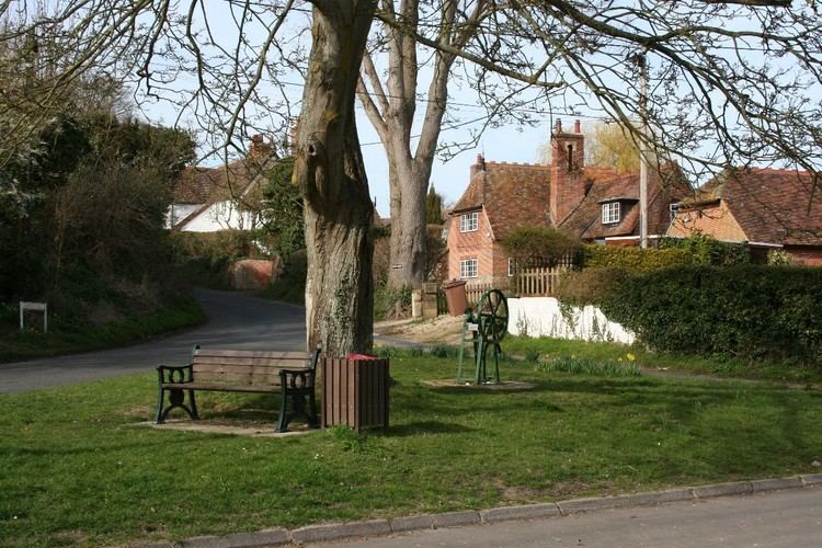 | ||
Chilton is a village and civil parish in the Vale of White Horse about 3.5 miles (5.6 km) southwest of Didcot. The parish was part of Berkshire until the 1974 local government boundary changes transferred the Vale of White Horse to Oxfordshire. The 2011 Census recorded the parish population as 894.
Contents
Map of Chilton, Didcot, UK
The village is just off the A34 road.
History
A section of the Grim's Ditch forms part of the southern boundary of the parish. The prehistoric Ridgeway National Trail passes south of the village.
The Domesday Book of 1086 lists the parish.
In 1644 the village was the site of a minor incident following the Second Battle of Newbury in which Parliamentarians narrowly escaped being attacked by Royalists.
The Church of England parish church of All Saints dates from the 12th century. Since 1976 the ecclesiastical parish has been united with Harwell.
The southern part of the Harwell Science and Innovation Campus, including the Rutherford Appleton Laboratory, is in the parish.