
Elevation 520 m (1,710 ft) Lowest elevation 10 m (30 ft) Area 978 km² Area code 746 | Highest elevation 800 m (2,600 ft) Time zone CST (UTC-6) Population 54,985 (2010) | |
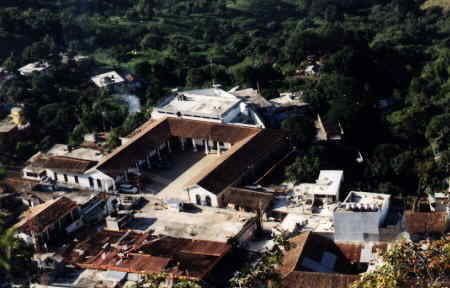 | ||
Chicontepec is a municipality in Veracruz, Mexico. It is located in the north of the State of Veracruz. It has a surface area of 978 km2. It is located at 20°58′N 98°10′W.
Map of Chicontepec, Ver., Mexico
The municipality of Chicontepec is delimited to the north by Tantoyuca and Ixcatepec, to the east by Temapache and Tepetzintla, to the south by Ixhuatlán de Madero, and to the west by Hidalgo.
It produces principally maize, beans and oranges.
In Chicontepec, in July takes place the celebration in honor to Santiago Apóstol Patron of the place.
The weather in Chicontepec is very warm all year with rains in summer.
References
Chicontepec de Tejeda Wikipedia(Text) CC BY-SA