Population 10,079 (2005) | Local time Saturday 1:57 PM | |
 | ||
Weather 27°C, Wind N at 5 km/h, 31% Humidity | ||
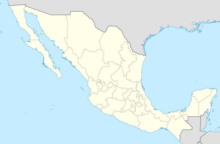
Chichihualco is a city in the south of Mexico. It forms the administrative centre of the municipality of Leonardo Bravo, found in the centre of Guerrero state about 21 kilometres northwest of the state capital, Chilpancingo.
Map of Chichihualco, Guerrero, Mexico
According to Mexico’s National Institute of Statistics, Geography and Data Processing (INEGI), the city was home to 4,783 men and 5,296 women, a total of 10,079 inhabitants in 2005. It is found at an altitude of 1,140 metres above mean sea level, a latitude of 17°39′28″ north and a longitude of 99°40′35″ west.
In the local Nahuatl language, the name literally means ‘in the bosom’, translated as ‘place where they suckle’ or ‘place of the wet nurses’.
References
Chichihualco Wikipedia(Text) CC BY-SA
