
Country Guatemala Municipality Chicamán Highest elevation 7,306 ft (2,227 m) Elevation 1,470 m Local time Saturday 1:31 PM | Department El Quiché Established as a municipality 1984 Lowest elevation 1,601 ft (488 m) Area 516 km² | |
 | ||
Weather 20°C, Wind NE at 18 km/h, 63% Humidity | ||
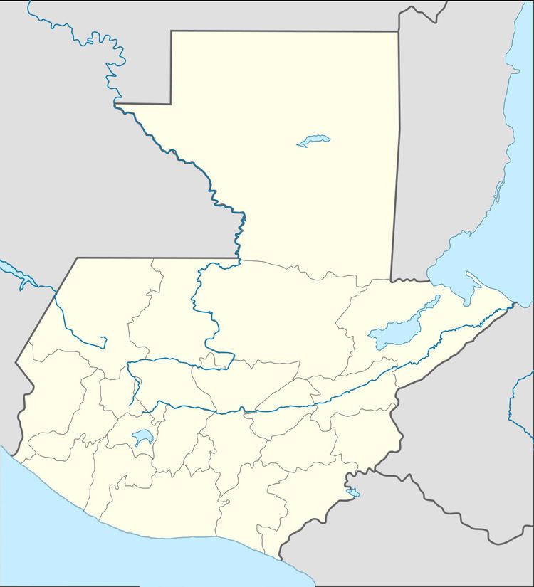
Chicamán is a municipality in the Guatemalan department of El Quiché.
Map of Chicaman, Guatemala
Tourists may visit the Canyon El Barbudo and the Quatro Chorros waterfalls.
References
Chicamán Wikipedia(Text) CC BY-SA