
Country United States County Barton Elevation 549 m Local time Saturday 9:04 AM | GNIS feature ID 0475521 Area 187.1 km² Population 207 (2010) | |
 | ||
Weather 9°C, Wind S at 29 km/h, 38% Humidity | ||
Cheyenne Township is a township in Barton County, Kansas, United States. As of the 2010 census, its population was 207.
Contents
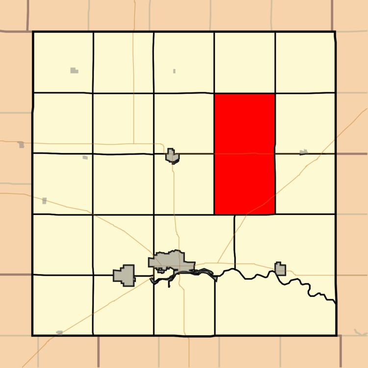
Map of Cheyenne, KS, USA
Cheyenne Township was organized in 1878.
Geography
Cheyenne Township covers an area of 72.25 square miles (187.1 km2) and contains no incorporated settlements. The unincorporated community of Redwing lies in the center of the township. According to the USGS, it contains one cemetery, Holy Family.
The Cheyenne Bottoms Wildlife Area is located almost exclusively in Cheyenne Township; it occupies most of the southern half of the township. Blood Creek runs through some of the township's southern part, emptying into the lake at the center of Cheyenne Bottoms.
Two oil fields are located in Cheyenne Township: one in the northeast, and one in the west.